Drone Roof Inspection in Vallejo, CA
Use drone roof imaging in Vallejo to document broad or hard-to-access roof areas, then connect visible findings with hands-on inspection and repair planning.
Why Commercial Roofing Vallejo?
Drone Roof Inspection in Vallejo, CA
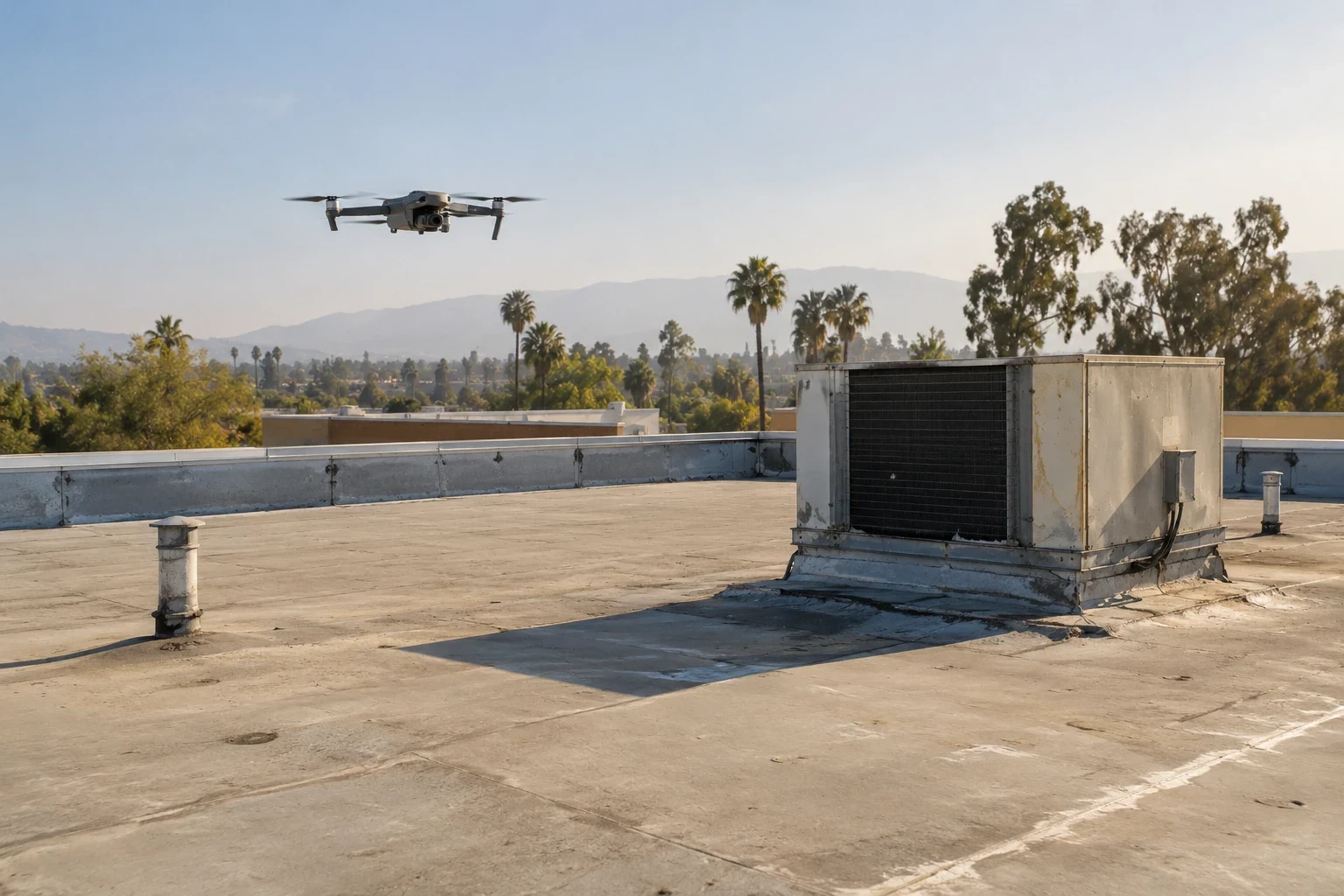
For a broad roof with difficult access, an aerial view can make the first condition review more complete. Drone imaging in Vallejo, CA captures visible roof areas, perimeter conditions, and equipment locations in a repeatable set of photographs. It helps an owner see where to focus a closer review, especially when the roof has several sections or access constraints. The images do not confirm membrane bond, moisture below the surface, or the condition of concealed layers. We interpret them with available records and on-roof observations, then identify what can be resolved from imagery and what needs a hands-on check.
Aerial Coverage With Roof-Zone Labels
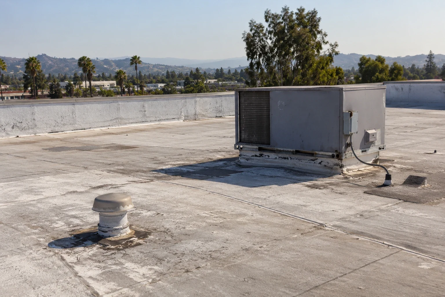
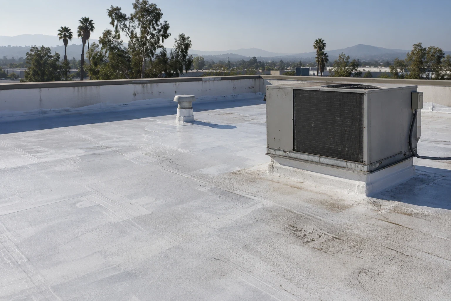
A useful flight plan follows the roof layout. We capture overlapping views of main roof areas, edges, drains, rooftop units, skylights, and transitions where a change in height or material is visible. The images are organized by building and roof zone, with enough context to locate a detail later. For a portfolio manager, that visual index can help compare one visit with another and direct a field team to a specific area without relying on a general description such as “north roof.”
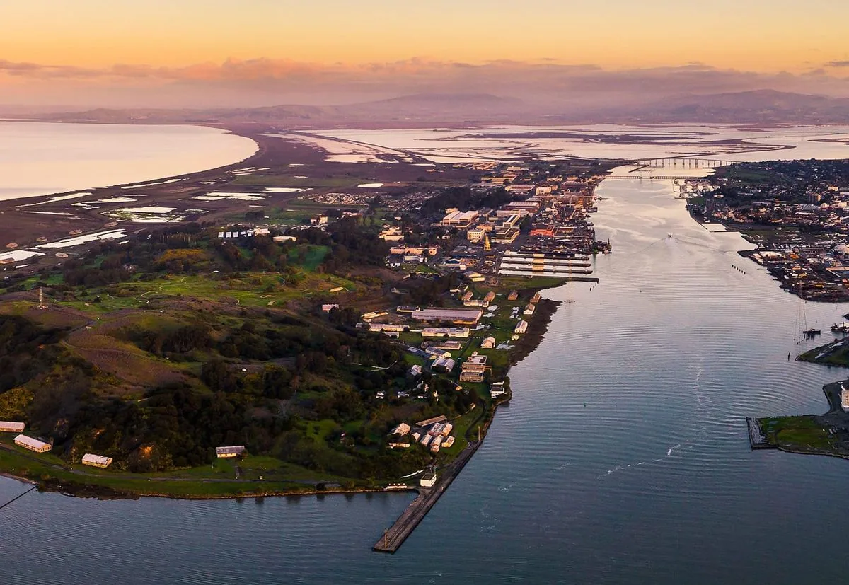
Mare Island's mix of office, retail, and industrial properties includes some buildings with overhead cranes and large roll-up doors. That variety can make a roof-level overview useful for planning access and equipment coordination, while each property still needs its own assembly review. The field review identifies the assembly and condition at the property. A roof asset record can retain the images with inspection dates and prior repairs, and a Mare Island site review can account for the property's access needs.
What an Image Can Show
Images can document visible debris, ponding, displaced materials, open-looking seams, surface wear, patched areas, and equipment clearances. A comparison set may show whether a visible feature has changed since the last flight, provided the camera angle and roof-zone labels are consistent. We use those observations to select areas for closer review. Water can remain below a membrane without a visible surface clue, and a seam that looks open from above still needs physical examination to confirm its condition.
On commercial roofs near the Vallejo waterfront or across the Sonoma-Broadway employment district, aerial documentation can help the owner orient a multi-building record. Those place names offer context, not an assumption about a roof's age or assembly. The review notes what is actually visible and marks uncertain items for follow-up. If an image suggests standing water, a field check can distinguish a temporary wet area from a low point that holds water. For a suspected hidden condition, infrared and core-cut survey work can add evidence that a camera view cannot provide.
Where a Roof Walk Adds Evidence
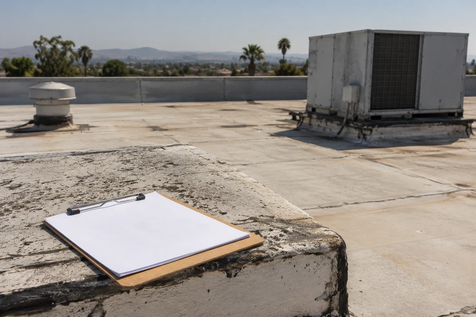
A drone cannot test a seam, lift a flashing, confirm a fastener's hold, or feel whether insulation has softened. A field inspection checks those details and compares them with the image set. We can use the photos to identify a route and review target, then examine accessible seams, wall transitions, penetrations, edge metals, and drainage openings directly. Where the roof is unsafe to access or an area cannot be reached, the report should mark that limit instead of treating the aerial image as a complete inspection.
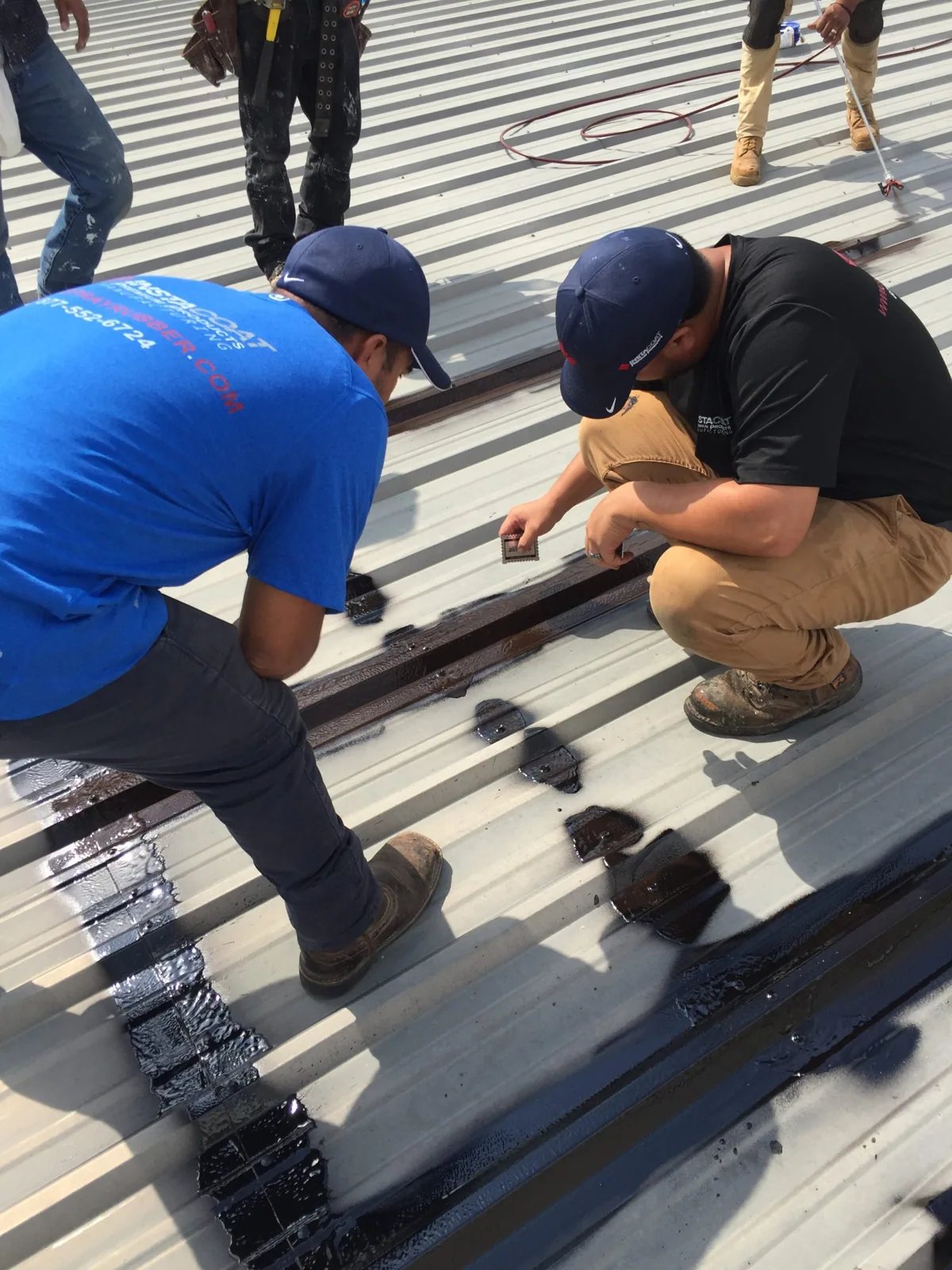
When a visible concern needs action, we connect the image location to a repair description and closeout photo. A hands-on roof inspection can verify accessible details, while commercial roof repair addresses a confirmed defect. If water is active, emergency response can protect the interior while we assess the entry path. This sequence lets the property team use the aerial view to direct effort without treating an image as the final condition judgment.
Access, Timing, and Image Use
Flight planning depends on site permissions, safe launch and landing areas, surrounding activity, and conditions on the day. The owner or site contact helps identify where people, vehicles, or active work could affect access. We coordinate any required property rules and schedule the image capture to fit site operations. A flight may be limited or postponed if conditions prevent a safe, useful capture. The inspection record states which areas were photographed and where visibility was limited.
Vallejo's commercial corridors connect different property types, from neighborhood-serving uses to industrial areas. On a property along Sonoma Boulevard, the site contact may need to coordinate customer or delivery movement; on an industrial site, equipment activity may shape the safe work window. The drone plan records those site constraints so later imaging can follow a comparable route. Store images with the roof plan and prior records, then use them to prepare an inspection or repair scope. A condition report can tie the image references to specific findings and next actions.
From Image Set to Work Plan
The deliverable should include dated images, roof-zone labels, observed conditions, and areas that need hands-on confirmation. We separate visible evidence from interpretation and connect recommended follow-up to the location shown. If the images support a repair review, the scope should name the defect to inspect, not simply request work across a broad roof section. If no visible issue is found, the images still provide an orientation record for future comparison but do not rule out hidden moisture or concealed damage.
Arrange a drone review with roof plans, building identifiers, access details, and any question the asset manager needs answered. We will plan a useful capture, organize the views by roof zone, and identify where a field inspection or testing would improve the decision. For a wide portfolio, multi-site roof coordination can standardize image naming and handoff across properties, while each report remains tied to the roof actually observed. That gives ownership a practical record for maintenance, repair, and capital planning.
Commercial Roofing Questions
Can drone images replace a hands-on roof inspection?
Drone images show visible surfaces and help organize a review, but they do not test seams, flashings, attachment, or concealed moisture. We use aerial views to direct a field walk and identify areas that need closer access. The report states which conditions were visible and which require hands-on confirmation before repair or capital decisions are made.
Will aerial photos show moisture beneath the membrane?
A standard image set cannot confirm moisture under the roof surface. It may show blistering, staining, or other visible clues that help select a survey area. Infrared imaging and targeted core cuts can add evidence about concealed layers. The inspection scope should identify how those results will affect repair limits or a recover decision.
How are images useful for a portfolio with several buildings?
Consistent roof-zone labels and camera angles make it easier to locate a feature across visits and compare visible changes. We organize images by property, building, and roof area, then connect findings to the owner's records. That visual index can guide future access and field inspections without implying that separate buildings share the same roof assembly.
What if trees, equipment, or roof levels block the view?
We mark areas where the camera could not capture a useful view and note what access would help review them. A hands-on visit may resolve a blocked section, while a different flight angle can help where site conditions allow. Limited visibility is recorded as an inspection constraint so ownership knows which parts remain unobserved.
Can the drone visit identify repair locations for the crew?
Yes. Roof-zone labels and reference images can help the crew find a visible feature, especially on a broad roof. We verify the condition on site before setting the repair boundary, since an image cannot confirm material bond or concealed damage. The closeout record can then link the field repair to the original photo reference.
Plan a Roof Imaging Review
Arrange a capture with roof plans, building identifiers, site access details, and the decision ahead. We will return labeled views and note the areas that need field confirmation.
Request a Roof Assessment
Questions About Drone Roof Inspection in Vallejo, CA
Common questions from building owners and property managers.
Can drone images replace a hands-on roof inspection?
Drone images show visible surfaces and help organize a review, but they do not test seams, flashings, attachment, or concealed moisture. We use aerial views to direct a field walk and identify areas that need closer access. The report states which conditions were visible and which require hands-on confirmation before repair or capital decisions are made.
Will aerial photos show moisture beneath the membrane?
A standard image set cannot confirm moisture under the roof surface. It may show blistering, staining, or other visible clues that help select a survey area. Infrared imaging and targeted core cuts can add evidence about concealed layers. The inspection scope should identify how those results will affect repair limits or a recover decision.
How are images useful for a portfolio with several buildings?
Consistent roof-zone labels and camera angles make it easier to locate a feature across visits and compare visible changes. We organize images by property, building, and roof area, then connect findings to the owner's records. That visual index can guide future access and field inspections without implying that separate buildings share the same roof assembly.
What if trees, equipment, or roof levels block the view?
We mark areas where the camera could not capture a useful view and note what access would help review them. A hands-on visit may resolve a blocked section, while a different flight angle can help where site conditions allow. Limited visibility is recorded as an inspection constraint so ownership knows which parts remain unobserved.
Can the drone visit identify repair locations for the crew?
Yes. Roof-zone labels and reference images can help the crew find a visible feature, especially on a broad roof. We verify the condition on site before setting the repair boundary, since an image cannot confirm material bond or concealed damage. The closeout record can then link the field repair to the original photo reference.